64°
Garrison Rock is a 302 acre Resource Management Unit managed by Wapello County Conservation. The area is located about 2 miles southeast of Ottumwa off Cliffland Road and is home to a large sand stone out crop overlooking the Des Moines River valley. On top of being a great hiking location, this area is very important historically having been used as a Native American gathering site and one of the first places occupied by European settlers in Wapello County.
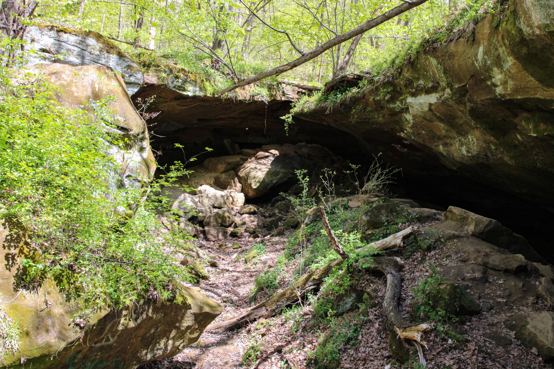
Points of interest that can be found here are a pioneer cemetery that occupies a bluff top overlooking the Des Moines River and Horse Thief Cave.The cave got its name from local legends that say outlaw Jesse James used it as a spot to hide stolen horses. Although the cave roof collapsed over 50 years ago, the area is still a fun spot to hike and explore. Garrison Rock is a high quality oak/hickory forest resource with excellent plant and animal diversity.
6951 Cliffland Road
Ottumwa IA 52501
641.682.3091
Stay up-to-date on what's happening in Ottumwa!